
Built For Construction. Not Photography.
Survey-grade aerial documentation for Cape Town developers, contractors and investors. Georeferenced deliverables in 48 hours.
Survey-Grade Deliverables
Every output is georeferenced and client-ready within 48 hours.

Progress Monitoring
Weekly or monthly aerial documentation for developer reports, investor updates, and lender drawdown milestones.
↓ Download sample progress report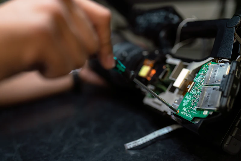
Orthomosaic Maps
Survey-accurate 2D top-down maps stitched from hundreds of aerial frames. Centimetre-level precision.

LiDAR Point Clouds
Dense 3D point cloud data for volumetric calculations, cut-and-fill analysis, and terrain modelling.

Digital Terrain Models
Accurate elevation models from 15 hectares to 500+ hectares. Essential for bulk earthworks and drainage design.

Thermal Imaging
Detect moisture intrusion, electrical faults, and structural anomalies invisible to the naked eye.

Monthly Retainers
Cover multiple sites under one agreement. Predictable cost, consistent documentation, one point of contact.

The Only Drone Survey Company in Cape Town Built Exclusively for Developer and Investor Reporting.
Years of Survey Experience
Operating professionally since 2016. Solar farms, ports, mining sites and major residential developments across South Africa.
Guaranteed Turnaround
Processed, georeferenced deliverables in your inbox within 48 hours. Built into every agreement.
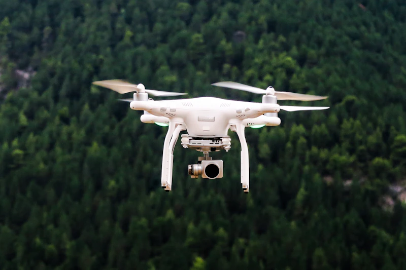
M300
Professional-Grade Equipment
Matrice 300 + LiDAR L2 — the same equipment used on mining contracts, port surveys, and solar EPC projects.
Trusted By The People Who Build Cape Town
Property Developers
Progress reports, investor updates, lender compliance documentation.
Construction Contractors
Site planning, volumetric analysis, as-built verification.
Civil Engineers
DTM/DSM models, contour mapping, drainage design support.
Quantity Surveyors
Cut-and-fill calculations, stockpile measurement, earthworks tracking.
Renewable Energy EPC
Solar farm terrain surveys, panel layout verification, post-install audits.
V&A Waterfront — Granger Bay Mixed-Use Development
12 monthly aerial progress reports delivered across a large-scale mixed-use construction programme at Granger Bay, Cape Town. Georeferenced orthomosaic maps and 4K progress footage provided to the development and investor team each cycle. Zero missed deadlines across the full documentation schedule. Deliverables formatted for direct inclusion in investor reporting packs.
Progress Monitoring · Orthomosaic Mapping · Investor Reporting
Survey-Grade Equipment, Every Time
Transparent Pricing
All pricing excludes VAT. Equipment, processing and deliverables included.
per visit
One site. Half-day on site. Georeferenced deliverables within 48 hours.
- 4K aerial footage
- Orthomosaic map
- 48-hour delivery
- SACAA licensed operator
per month
Two visits per month. Formatted investor report included. One invoice.
- 2 site visits per month
- Georeferenced orthomosaic maps
- Formatted investor progress report
- 48-hour turnaround per visit
- Priority scheduling
per month
Four visits per month. Full documentation suite. Built for active investor reporting.
- 4 site visits per month
- Full LiDAR + orthomosaic deliverables
- Branded investor progress reports
- Priority turnaround
- Dedicated account management
- Multi-site available
All pricing excludes VAT. Equipment, processing and deliverables included. Travel surcharge may apply outside Cape Town metro. Multi-site agreements available on request.
Ready to Survey Your Site
Start With One Site.
Tell us your project. We'll send a quote within the hour.